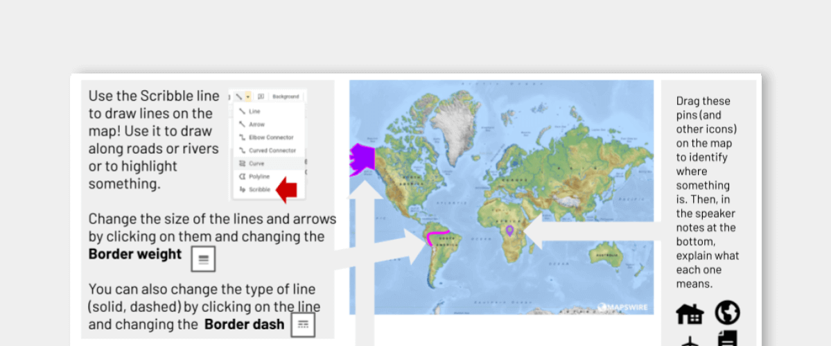
This interactive map template will have you doing more with maps than you realized!
Add a map as a background. Then, drop pins to identify important parts. Draw lines on rivers, roads, and other important points. Highlight entire states, countries or regions with the polyline tool. Then, in the speaker notes, have students tell you about what they added. Or, even better ... they can click on the icons, lines and shapes -- and add a comment to tell more about them!
Want to know more? Check out this blog post.

